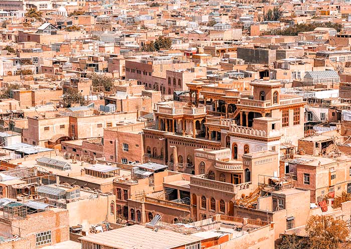
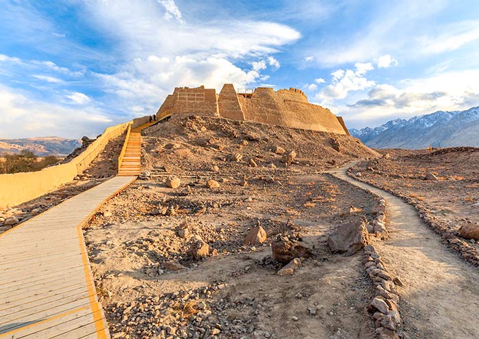
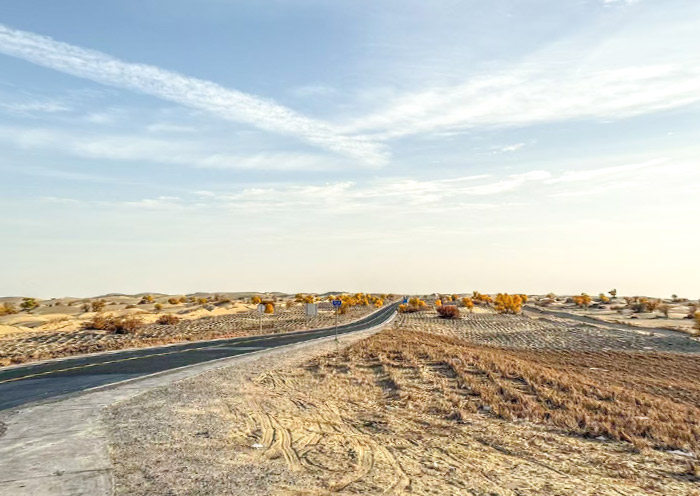
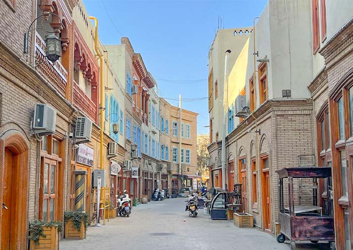
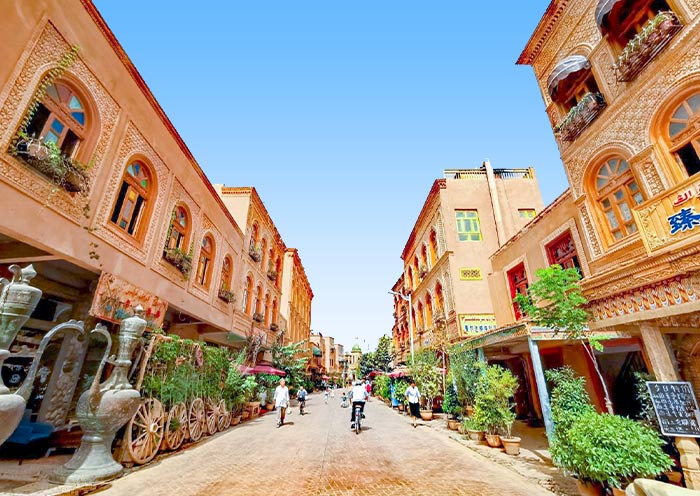
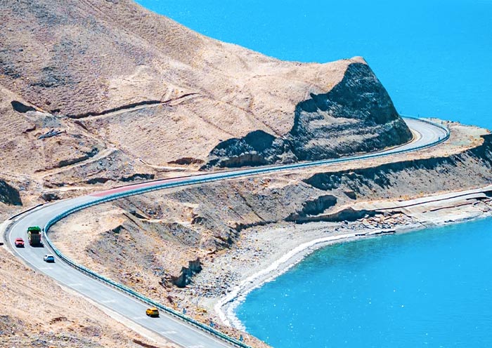
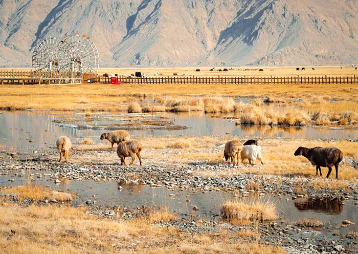
This morning, your guide and driver will pick you up from your hotel in Kashgar to embark on an exhilarating road trip along the China-Pakistan Highway. Along the way, you can enjoy the beautiful landscape of Pamirs Plateau, visit Baisha Lake and Karakul Lake, admire the distant and mysterious Muztagh Ata Peak, Kongur Tagh, Kongur Tiube, and conclude with a visit to a Tajik family home in Tashkurgan. (Total distance: 300 kilometers, approximately 7-8 hours of travel).
The China-Pakistan Highway (中巴公路) is also known as the Karakoram Highway (KKH), and referred to locally as the Pamir Highway. It begins in Kashgar, Xinjiang, China, traverses the Karakoram mountain range, the Hindu Kush range, the Pamir Plateau, and the western edge of the Himalayas, passes through the Khunjerab Pass (elevation: 4,693 meters) at the China-Pakistan border, and extends south to the northern Pakistani city of Thakot. Spanning approximately 1,224 kilometers, with 415 kilometers within Chinese territory, it is one of the highest paved border crossings in the world.
Historically, the routes across the Pamir Plateau (帕米尔高原), also known as Congling (葱岭) in ancient times, were integral parts of the ancient Silk Road. This section was one of the most challenging segments for merchants and travelers on the Silk Road due to its harsh and rugged terrain. Here, several of the world's renowned mountain ranges - the Himalayas, the Karakoram, the Kunlun Mountains, the Tianshan Mountains, and the Hindu Kush - converge and radiate outward, forming a massive mountainous junction. Today, the China-Pakistan Highway has transformed these perilous trade routes of the past into magnificent thoroughfares, attracting numerous tourists to the Pamir Plateau to experience its stunning natural scenery. The route offers views of Danxia landform, snow peaks, deep canyons, serene lakes, expansive wetlands, and pristine glaciers, making it Southern Xinjiang's most quintessential three-dimensional scenic route.
Along the way, you will visit the following attractions:
Baisha Mountain-Baisha Lake Scenic Area (白沙山-白沙湖景区):
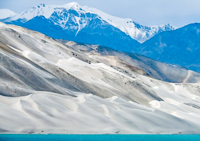
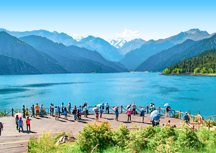
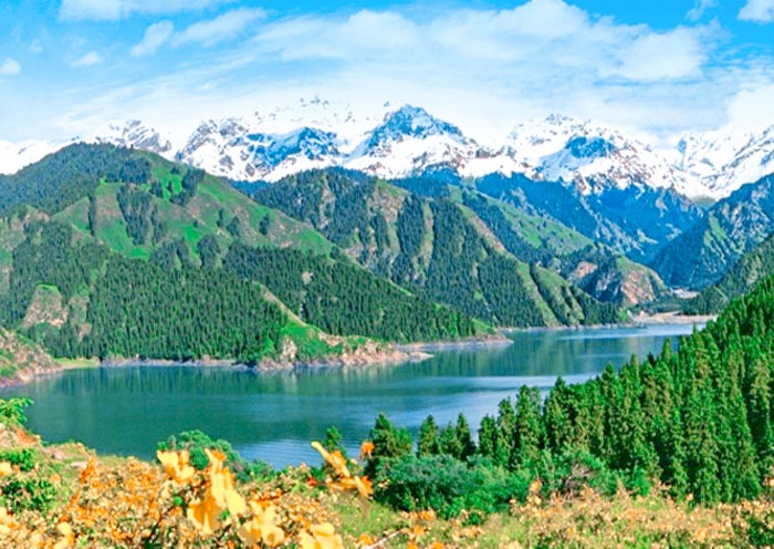
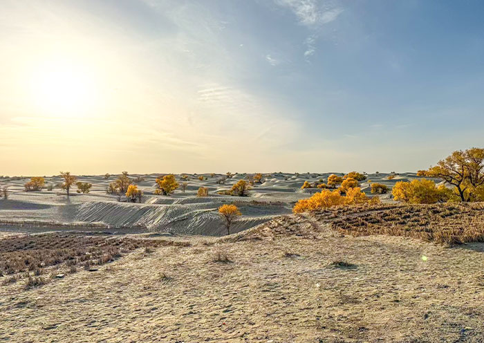
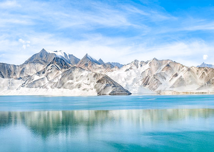
As you drive along National Highway G314, you'll encounter Baisha Lake (白沙湖) , also known as Bulunkou Lake - a striking plateau lake nestled in the Pamir Plateau (elevation:about 3,660 meters). From its shore, you're treated to a stunning vista: half pristine blue water, and half white sand mountain, both harmonizing with distant snow-capped peaks to create a magnificent spectacle.
On the lake's northern shore stands the renowned Baisha Mountain(白沙山), winding for over 1,200 meters. The dark mountain body, covered with white sand, presents a soft silvery-white color under the clean sunlight of the Pamir Plateau, resembling white silk. Legend has it that as the lake water gradually dries up in autumn and winter, the white sand at the bottom of the lake emerges. In spring, the wind blows this sand onto the mountain, creating the extraordinary spectacle of sand accumulating into a mountain. Whenever strong winds blow, Baisha Mountain emits a sound, earning it the name "Singing Sand Mountain." The southern shore of the lake is embraced by a chain of snow-capped mountains, with the highest peak being Mount Kongur Tagh at an elevation of 7,530 meters, adding further grandeur and mystery to this captivating landscape.
Karakul Lake (喀拉库勒湖):
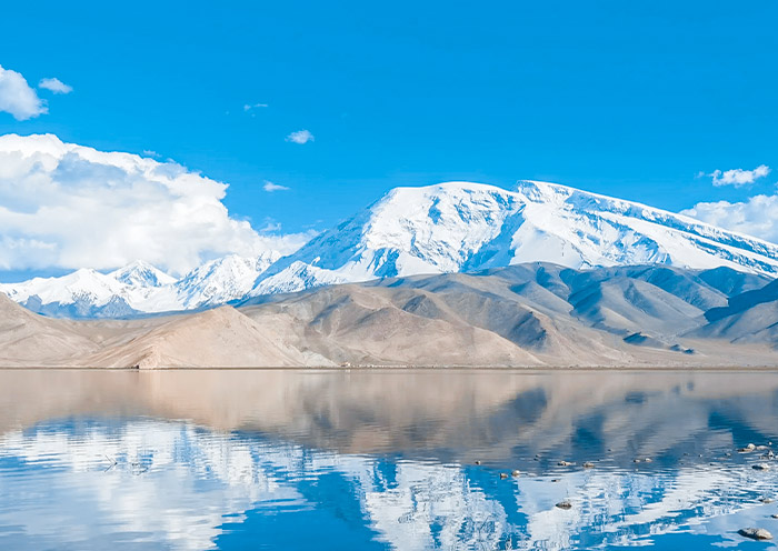
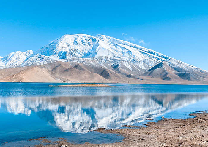
Karakul Lake is a high-altitude moraine lake (elevation:about 3,600 meters).Its name in the Kyrgyz language means "Black Lake," attributed to its deep, dark waters. However, if you spend enough time by the lake, you will notice that it changes colors under different lighting conditions, appearing deep blue, emerald green, or ink black, earning it the nickname "the ever-changing lake."
Yet, the true highlights of Karakul Lake are the imposing peaks known as the "Kunlun Trio" that tower behind it: Kongur Tagh, Kongur Tiube, and Muztagh Ata, with altitudes of 7,719 meters, 7,595 meters, and 7,546 meters, respectively. On clear days, their majestic reflections are perfectly cast upon the glistening surface of the lake, creating the most iconic views of Karakul Lake. Among these, Muztagh Ata is particularly striking, covered with many glaciers, and is known as the "Father of Ice Mountains."
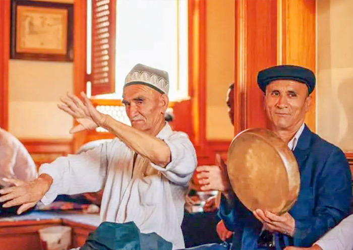
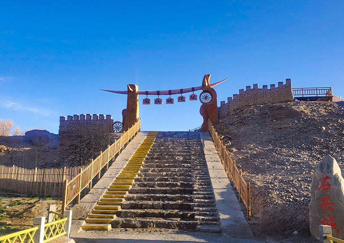
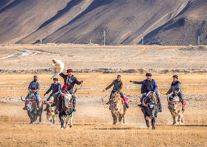
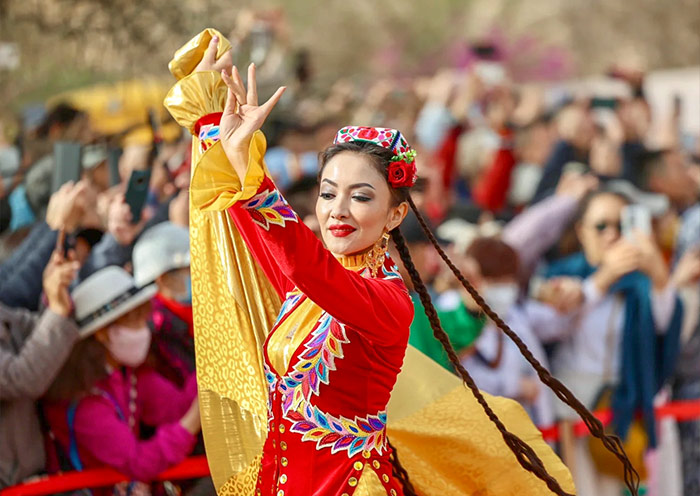
Afterward, drive to Tashkurgan County (塔什库尔干) and conclude your visit to a local Tajik family's home. As Tashkurgan Tajik Autonomous County, the area is populated with the warm and hospitable Tajik people (塔吉克族). They are known for their singing and dancing abilities and regard eagles as symbols of strength and freedom. This experience offers a unique opportunity to interact directly with the local Tajik community living at high altitudes.You'll gain insight into the everyday lives of the Tajik people, witness the skilled craftsmanship and colorful textiles that decorate their homes, experience their traditional music and dance, and possibly enjoy snacks prepared in their distinctive style.
Stay overnight in Tashkurgan County.
