Xining Location Map: Where is Qinghai on China Map
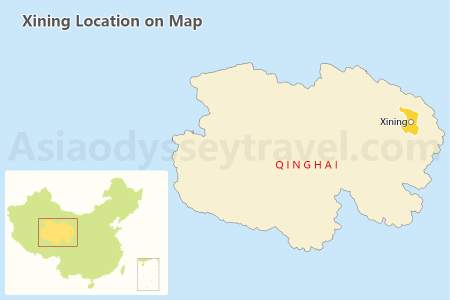
Xining is the capital of Qinghai Province, located in the northwest part of China. It lies at the eastern edge of the Tibetan Plateau, surrounded by mountains and deserts. Xining is the starting station of Qinghai Tibet Railway, the highest railway in the world.
Xining City Map: Xining Map with Airports and Stations
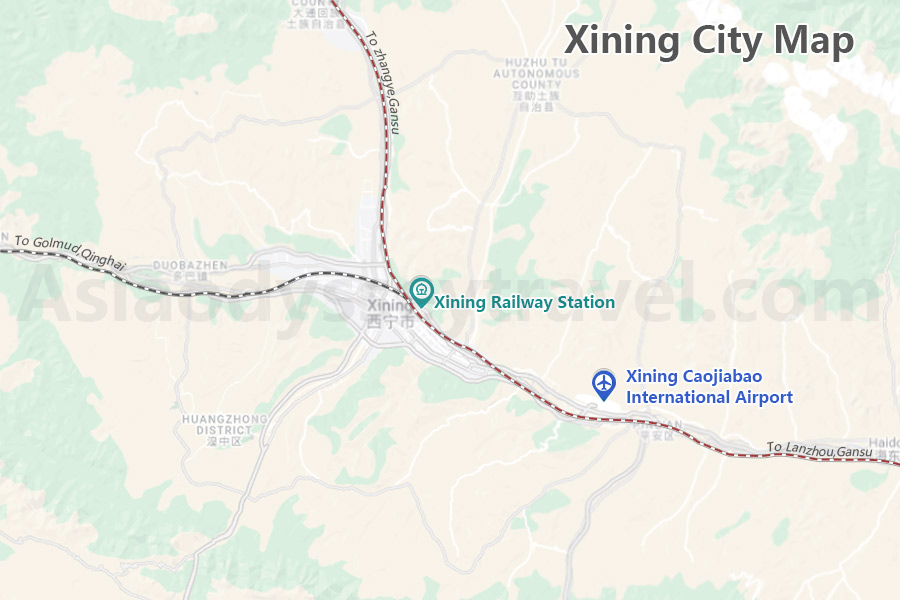
Xining is situated at an elevation of around 2,200 meters (7,200 feet) above sea level, making it one of the highest provincial capitals in China.
Xining Caojiabao International Airport (XNN) is the only airport in Xining, connecting major China cities like Chengdu, Beijing, Shanghai, Guangzhou, Xian, Lhasa, Urumqi, Dunhuang, and Hong Kong.
Xining Railway Station is the main train station in Xining, connecting Lhasa in Tibet, Chengdu, Beijing, Xian, Lanzhou, and Urumqi.
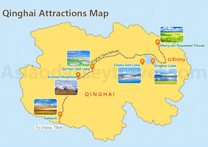
Xining Tourist Map: Xining Map with Top Attractions in Xining
In Xining, you can explore a blend of cultural heritage, natural beauty, and religious sites.
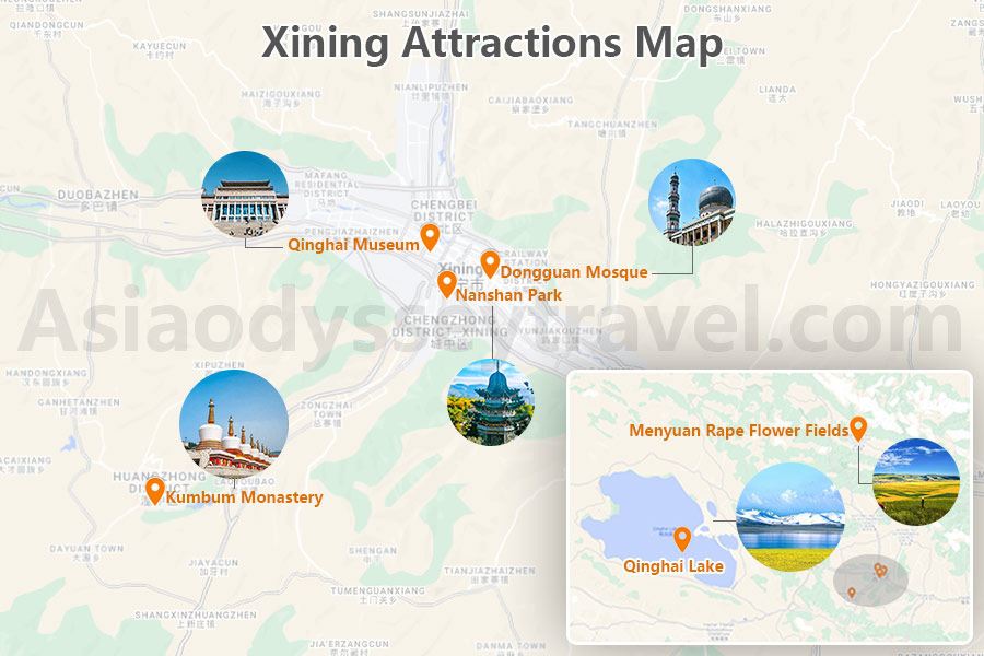
- Kumbum Monastery (Ta'er Monastery): Explore the intricate Tibetan Buddhist architecture and religious significance of this historic monastery.
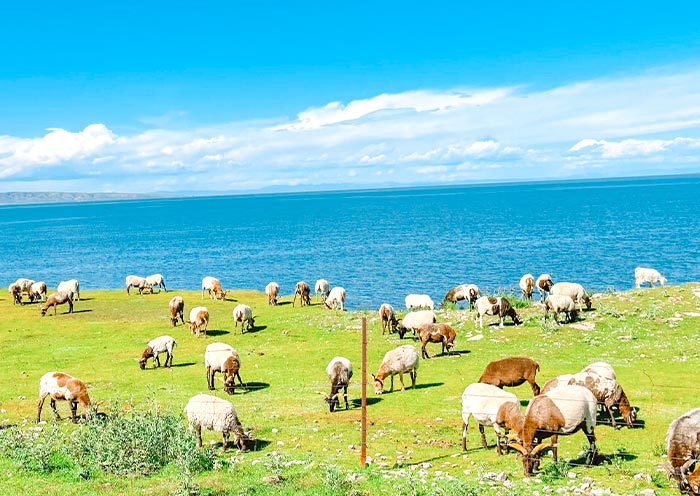
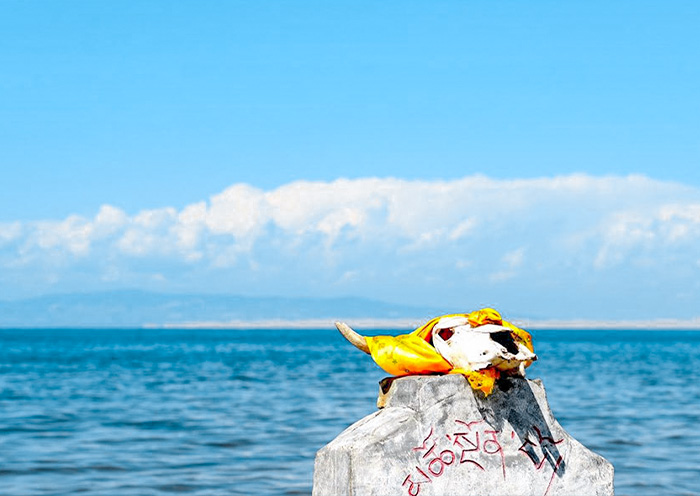
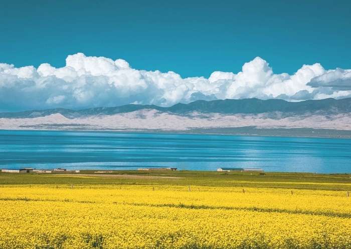
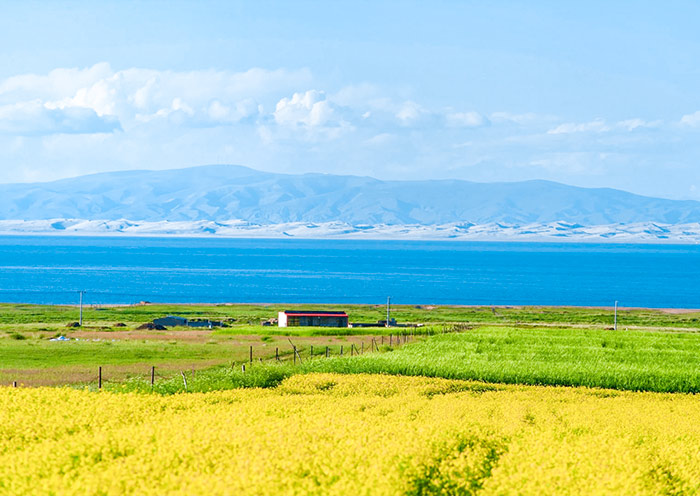
- Qinghai Lake: Visit China's largest saltwater lake for stunning landscapes, birdwatching, and the annual cycling race around its shores.
- Dongguan Mosque: Admire the grandeur and cultural importance of this historic mosque for the Hui Muslim community.
- Menyuan Rape Flower Fields: Enjoy the vibrant yellow rapeseed flower fields during the blooming season in Menyuan County.
- Nan Shan Park: Enjoy scenic views of Xining and a peaceful retreat in this beautiful park setting.
Xining Transportation Map: Travel around Xining with Map
Xining to Qinghai Lake Map
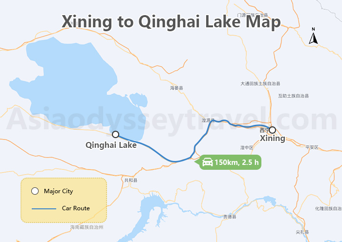
The journey from Xining to Qinghai Lake spans approximately 150 kilometers and can be completed by car in around 2 hours. Traveling through scenic landscapes, visitors will arrive at the stunning Qinghai Lake, the largest saltwater lake in China, known for its serene beauty and birdwatching opportunities.
Qinghai Lake (Kokonor Lake) - Largest Lake in China (2026 Guide)
Xining to Chaka Salt Lake Map
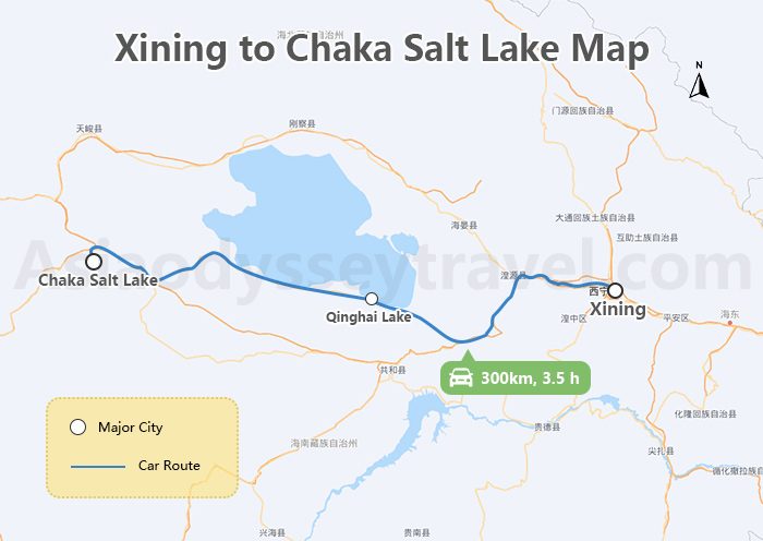
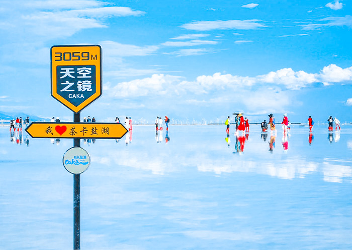
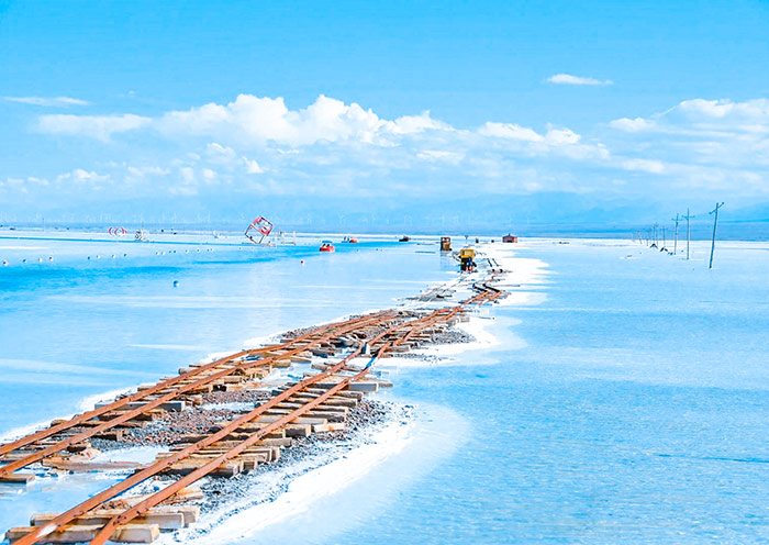
Traveling from Xining to Chaka Salt Lake covers a distance of about 300 kilometers and takes around 4 hours by car. The route offers picturesque views as you head towards the mesmerizing Chaka Salt Lake, famous for its mirror-like surface reflecting the sky, making it a popular spot for photography and sightseeing.
Chaka Salt Lake (Chaka Yan Lake) - "Mirror of The Sky" in China
Xining Travel Map: Travel to Xining with Map

Day 1: Arrival in Xining
Arrive in Xining, where you will be greeted with airport pickup services and assisted with check-in at your hotel for a comfortable stay.
Day 2: Xining Qinghai Lake Chaka Town
Explore the Erlangjian Scenic Area near Xining before heading to the breathtaking Qinghai Lake, and then continue your journey to Chaka Town.
Day 3: Chaka Town Chaka Salt Lake Xining
Visit the mesmerizing "Mirror of the Sky" at Chaka Salt Lake, then return to Xining for a train sightseeing experience and explore more of the city.
Day 4: Departure from Xining
Before leaving Xining, visit the Ta'er Monastery, delve into Tibetan medicine at the China Tibetan Medicine Culture Museum, and explore the unique architecture of Dongguan Mosque in the city.
